

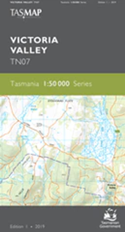
VICTORIA VALLEY TN07
Tasmap
$13.95
(No reviews yet)

Write a Review
Tasmap
VICTORIA VALLEY TN07
TASMAP is progressively introducing a 1:50 000 Topographic Mapping Series.
Stretching from the historic town of Bothwell in the south east to Bradys Lake in the north west, this map covers a diverse range of landscape. The southern portion of the map includes dry lowland pasture land, timber plantations and dry forests before transitioning to the colder, wetter and harsher high country. The high country features some of the iconic lakes that attract keen anglers including Bradys Lake, Highland Waters, Dee Lagoon and the southern portion of Lake Echo. Some prominent dams that form part of Tasmania’s hydro electric scheme are also shown, including Lake Echo and Catagunya dams and Wayatinah and Lake Echo power stations.
The design of the 1:50 000 Map Series provides clear and accurate portrayal of topographic information, with symbols and map content giving enhanced depiction of buildings, hill shading and a simplified classification of vegetation.
| Product Number: | TN07 |
| Edition: | 1 |
| Production Year: | 2019 |
| Datum: | Geocentric Datum of Australia 1994 (GDA94) |
| Scale: | 1:50000 |


