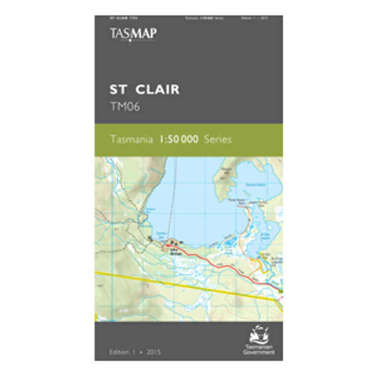
TASMAP is progressively introducing a 1:50 000 Topographic Mapping Series. This map replaces the Du Cane and Rufus 1:25,000 map.
This map covers the southern portions of Walls of Jerusalem National Park and Cradle Mountain Lake St Clair National Park. As this region is remote, elevated and exposed to highland weather events the map is an essential navigation aid for walkers and wilderness fisherman accessing the lakes west of Bronte Park.
The design of the 1:50 000 Map Series will provide clear and accurate portrayal of topographic information, with symbols and map content giving enhanced depiction of buildings, hill shading and a simplified classification of vegetation.
Product Number:
TM06
Price:
$12.95 (Including GST)
Edition:
1
Production Year:
2015
Datum:
Geocentric Datum of Australia 1994 (GDA94)
Scale:
1:50000


