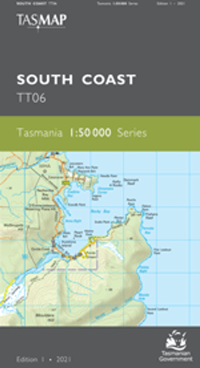
The design of the 1:50 000 Map Series provides a clear and accurate portrayal of topographic information, with symbols and map content giving enhanced depiction of buildings, hill shading and a simplified classification of vegetation.
This map features the southern most tip of mainland Tasmania, the Maatsuyker Group and other offshore rocks. Also shown is the most southern drivable location of Cockle Creek, home to camping sites and spectacular beaches on the fringe of Recherche Bay. The South Coast Track starts from Cockle Creek and allows access to remote rugged wilderness and coastline but can be subject to extreme weather conditions. It is a 6 to 8 day walk to Melaleuca.
Maatsuyker Island’s lighthouse was completed in 1891 from materials brought from Hobart and hauled up the now disused horse powered tramway at Haulage Cove. Volunteers now inhabit the island and maintain the lighthouse. The location of the remote rock monoliths of the Mewstone, Pedra Branca and Eddystone are also shown of this map, populated only by bird colonies, seals and skinks.


