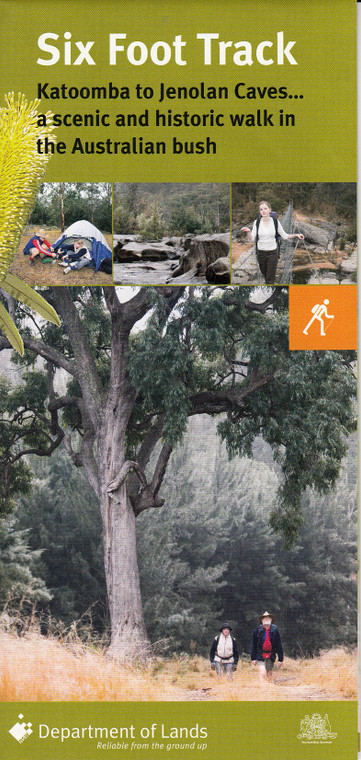


Steeped in history, the track begins at the Explorers' Tree on the great Western Highway between Katoomba and Medlow Bath and heads down through Nellie's Glen, past Bonnie Doon Falls and into the Megalong Valley to the historic Megalong Village.
From here, it continues through the valley, following the Cox's River, which you will cross by the Bowtells Swing Bridge before arriving at the Cox's River campsite.
The next section of the track takes you over the Mini Mini Saddle to the Alum Creek campsite which leads you to Little River, a tributary of the Cox's River. From here, climb up the Black Range to the highest point of the track before heading down the Binoomea Ridge to Jenolan Caves.
The track crosses differences in altitude, aspect, climate and soil types, leading to a wide variety of flora, including eucalyptus, wattles, tree ferns and other vegetation. Walkers are also likely to see native mammals such as kangaroos, wallaroos, echidnas, wombats and swamp wallabies and at night, possums may be seen in trees. Lizards and snakes are common and Nellie's Glen butterflies may be seen as will the 150 bird species which have been identified along the track.


