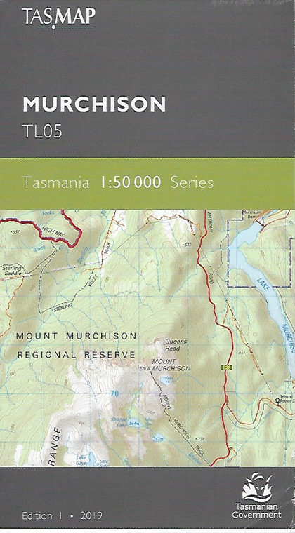
TASMAP is progressively introducing a 1:50 000 Topographic Mapping Series. This map covers the internationally renowned Cradle Mountain walking area which includes the northern portion of the Overland Track. Prominent mountains include Barn Bluff, Pelion West and Tasmania’s highest peak Mount Ossa (1617m) and the map is an essential navigational aid for bushwalkers as this elevated area is subjected to harsh weather. The central part of the map shows a large tract of temperate wilderness consisting of rugged mountain peaks, deep valleys and large catchments including the Murchison and Sophia Rivers which feed into Lake Murchison and Lake Rosebery respectively. These lakes supply the Mackintosh Power Station and are also popular spots for trout fishing, kayaking and swimming. Mount Murchison attracts bushwalkers to a scenic comfortable day walk through rainforest followed by open alpine country offering breathtaking panoramic views. The design of the 1:50 000 Map Series provides clear and accurate portrayal of topographic information, with symbols and map content giving enhanced depiction of buildings, hill shading and a simplified classification of vegetation.
| Product Number: |
TL05 |
| Edition: |
1 |
| Production Year: |
2019 |
| Datum: |
Geocentric Datum of Australia 1994 (GDA94) |
| Scale: |
1:50000 |


