

MERIDIAN Lerderderg Werribee Gorge Map
Meridian Maps
$10.95
(No reviews yet)

Write a Review
Meridian Maps
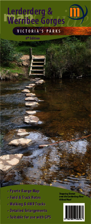
MERIDIAN Lerderderg Werribee Gorge Map
1:30,000 scale topographic map of the Lerderderg State Park and 1:20,000 map of Werribee Gorge State Park, with a 1:15,000 enlargement of the Blackwood to O’Briens Crossing area. New edition includes a 1:55,000 map of the Pyrete Range. Map includes 13 walk notes as well as notes the parks history, wildlife and activities available in the parks. Features the Emergency Marker Co-ordinates for the Lerderderg and Werribee Gorge State Paks and all tourist attractions in and around the parks. Ideal for bushwalkers, day trippers and 4 wheel drivers.
- 6th Edition 2018
- Scale 1:35,000
- Detailed enlargements
- Suitable for use with GPS
- Includes Pyrete Range Map
- Informative text & field notes
- Double-sided with detailed track notes
- Map size 750mm(W) x 600mm(H) flat
- ISBN: 9781920958336


