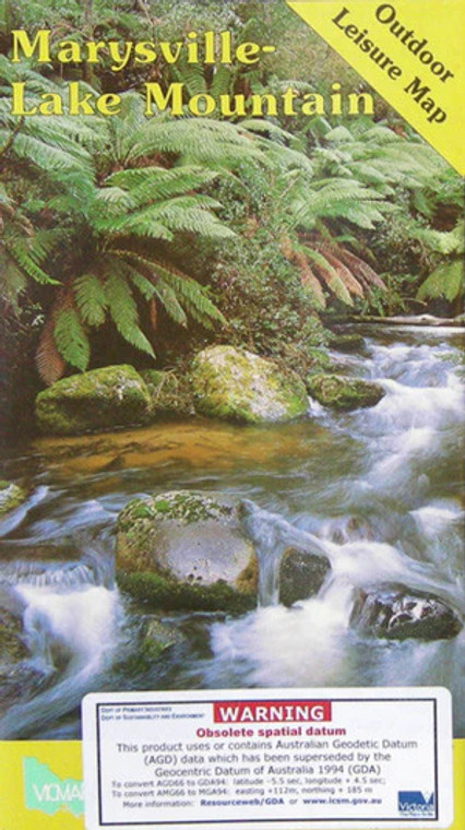
Marysville-Lake Mountain Outdoor Leisure Map
Vicmap
$11.00
(No reviews yet)

Write a Review
Vicmap
Marysville-Lake Mountain Outdoor Leisure Map
A 1:25,000 topographical map for VIC.
There is something for everyone and for all seasons in the Marysville Lake Mountain district. Cross country skiing in winter, bushwalking and horse riding in summer and beautiful waterfalls and scenery all year round. Marysville is 95km east of Melbourne, travelling via the Maroondah Highway over Black Spur. For Lake Mountain, continue on through Marysville for 10km to a well signposted road to the mountain.
Topographic maps show contours, spot elevations, streams, roads, buildings, place names, vegetation and administrative boundaries. They are used by emergency services, environmental resource managers, engineers and others, for planning, development and recreational activities.
In the occasional circumstance where we cannot guarantee availability, we can offer a refund on your purchase if it cannot be filled. Alternatively you may wish to contact us prior to purchase. There may be a 7-10 business day wait for maps which are not in stock.