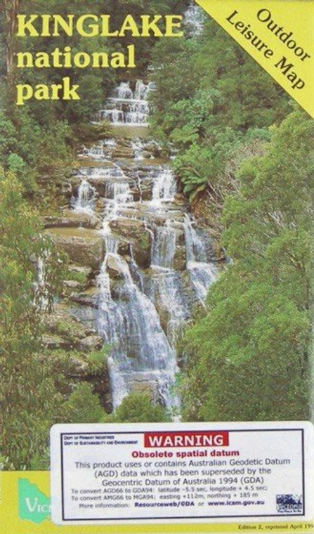
A 1:25,000 topographical map for VIC.
Melbourne's ideal bushland retreat, The Kinglake National Park lies north-east of Melbourne - a short drive (65km) from the city centre via either Yarra Glen, Whittlesea or Hurstbridge. Located in Victoria's Great Dividing Range, the park is ideal for day walks, picnics and sightseeing. Enjoy the panorama, waterfalls, the natural bush: ranging from fern gullies to open woodlands.
Topographic maps show contours, spot elevations, streams, roads, buildings, place names, vegetation and administrative boundaries. They are used by emergency services, environmental resource managers, engineers and others, for planning, development and recreational activities.
In the occasional circumstance where we cannot guarantee availability, we can offer a refund on your purchase if it cannot be filled. Alternatively you may wish to contact us prior to purchase. There may be a 7-10 business day wait for maps which are not in stock.


