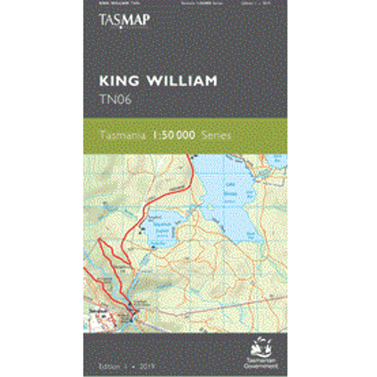
TASMAP is progressively introducing a 1:50 000 Topographic Mapping Series.
The majority of this map is situated in the Franklin – Gordon Wild Rivers National Park which includes dramatic mountain peaks, spectacular gorges, scenic rainforests and deep river valleys. Much of the landscape has been shaped by ancient glaciers and is remote and rugged. The terrain supports a diverse range of vegetation, from cool temperate rainforest, drier eucalypt forests and scenic button grass moorland. The King William Range and surrounding area hosts a number of short and extended scenic walks. The townships of Tarraleah and Wayatinah are noted for their camping grounds and nearby bushwalking, kayaking, mountain biking and fishing activities. Tarraleah is also home to a high altitude golf course.
The design of the 1:50 000 Map Series provides clear and accurate portrayal of topographic information, with symbols and map content giving enhanced depiction of buildings, hill shading and a simplified classification of vegetation.
| Product Number: |
TN06 |
| Edition: |
1 |
| Production Year: |
2019 |
| Datum: |
Geocentric Datum of Australia 1994 (GDA94) |
| Scale: |
1:50000 |


