


GREEN PONDS TP08
Tasmap
$13.95
(No reviews yet)

Write a Review
Tasmap
GREEN PONDS TP08
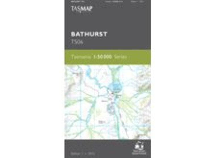
TASMAP is progressively introducing a 1:50 000 Topographic Mapping Series. This map will eventually replace the 1:25,000 topograpical maps of Kempton and Colebrook.
This map covers the wilderness areas stretching from Federation Peak, Bathurst Harbour, Cox Bight to the Ironbound Range. An essential map for walkers using the South Coast Track and Port Davey Track to access Melaleuca.
The design of the 1:50 000 Map Series will provide clear and accurate portrayal of topographic information, with symbols and map content giving enhanced depiction of buildings, hill shading and a simplified classification of vegetation.


