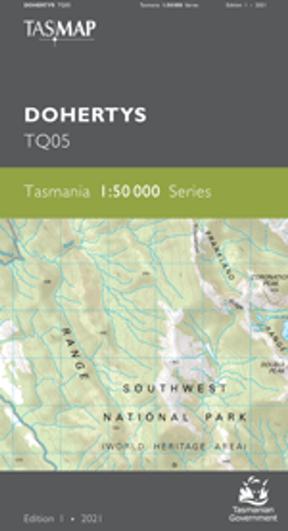
The design of the 1:50 000 Map Series provides a clear and accurate portrayal of topographic information, with symbols and map content giving enhanced depiction of buildings, hill shading and a simplified classification of vegetation.
The significant Dohertys Range, from where the name for this map comes, runs from north to south over this map. The western extents of Lake Gordon and Lake Pedder, both hydro lakes, are shown along with the imposing Gordon Dam, a National Engineering Landmark and the tallest dam in Tasmania at 140 metres high. A moderate but steep walk up Mount Sprent rewards bushwalkers with highly breathtaking views of the mountainous, isolated wilderness of the south west.


