

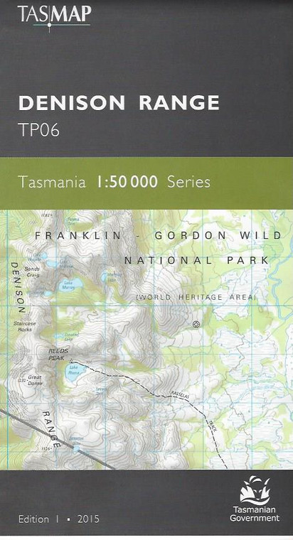
DENISON RANGE TP06
Tasmap
$13.95
(No reviews yet)

Write a Review
Tasmap
DENISON RANGE TP06
TASMAP is progressively introducing a 1:50 000 Topographic Mapping Series.
This map covers the wilderness areas stretching from Federation Peak, Bathurst Harbour, Cox Bight to the Ironbound Range. An essential map for walkers using the South Coast Track and Port Davey Track to access Melaleuca.
The design of the 1:50 000 Map Series will provide clear and accurate portrayal of topographic information, with symbols and map content giving enhanced depiction of buildings, hill shading and a simplified classification of vegetation.
Product Number:
TP06
Edition:
1
Production Year:
2015
Datum:
Geocentric Datum of Australia 1994 (GDA94)
Scale:
1:50000


