
TASMAP is progressively introducing a 1:50 000 Topographic Mapping Series.
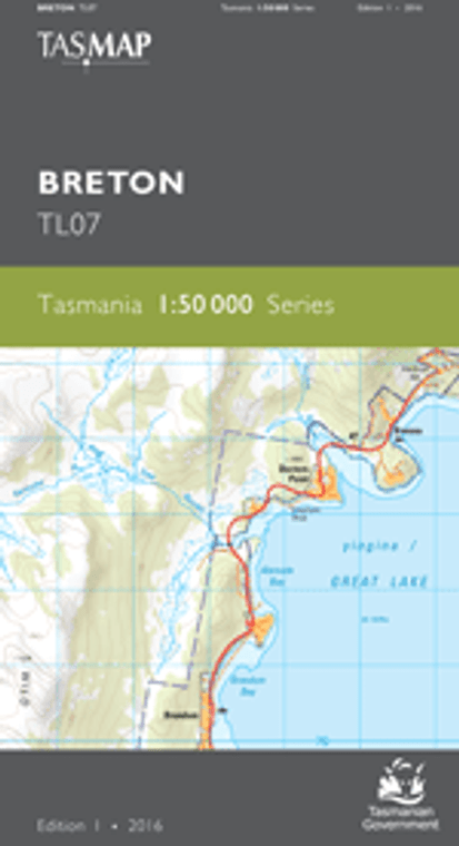
The area portrayed on this map is dominated by the Great Western Tiers escarpment. The elevated plateau, forming part of the Tasmanian Wilderness World Heritage Area, is subject to sudden and sometimes extreme weather changes. The plateau contains the large artificial impoundment yingina/Great Lake which feeds three hydroelectric power stations and is one of the state’s most important energy resources. Whilst this lake is popular with recreational fishers, other lakes on the plateau attract those fishers seeking a wilderness experience. The area below the escarpment is mainly devoted to production forestry and agriculture.
The design of the 1:50 000 Map Series will provide clear and accurate portrayal of topographic information, with symbols and map content giving enhanced depiction of buildings, hill shading and a simplified classification of vegetation.